South Devon National Landscape
Follaton House, Plymouth Road,
Totnes TQ9 5NE


Tel: 01803 229330


Malborough and Burleigh Dolts (2.5m)

Category
Easy to Moderate
About This Project

Malborough and Burleigh Dolts – Stroll back in time around tiny lanes and open farmland

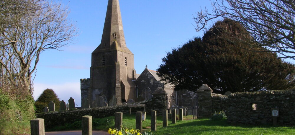
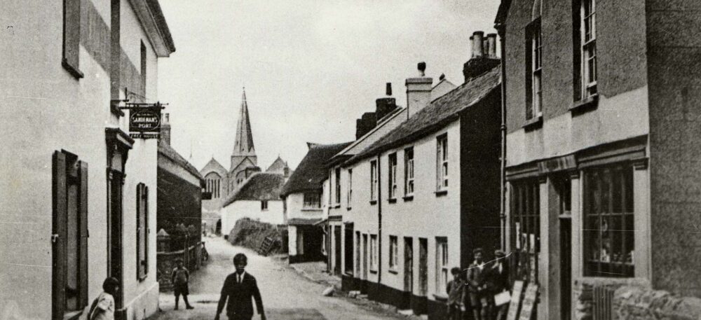
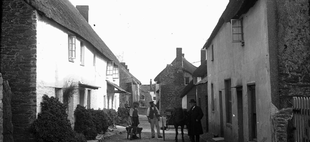
Follow the tiny lanes and snickets around the village to discover more about Malborough past and present. Find Higher and Lower Town, the churchyard and the old animal pound. Then wander further back in time over the site of an iron-Age hillfort and enjoy open views across the farmland towards to coast on this high point in the local area.

Overview

Start
Malborough village bus stop, opposite the Village Hall TQ7 3BU
Distance
2.5 miles
easy - moderate
No steps but 5 stiles
Terrain
Surfaced and unsurfaced paths and over fields - may have cattle in at times
Parking
Some parking in Village Hall car park, off Collaton Road TQ7 3SN or on street
OS map
Explorer OL20
Grid Reference
SX 709 398 What3Words ///bitter.chose.hopes
Public transport
Buses on route to Salcombe, see www.travelinesw.com
Refreshments
Pubs and shop in village
Toilets
Village square next to the shop

Directions

    1. Cross the road over to Lower town then turn sharp right into Hay Lane, opposite Shute Hill.
    2. Follow Hay lane to the end and turn left then right into Chapel Lane.
    3. Pass the Baptist church on your right and continue along the unsurfaced Great Lane to the end.
    4. Turn left then sharp right following the footpath through a gate with the houses on your right. Carry on through an open field with the hedge on your left, follow the path over the stone stepped stile in the hedgebank.
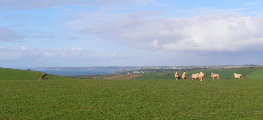
    5. Walk across the field keeping the concrete structure on your left. This high ground was the site of an Iron Age fort, Burleigh Dolts – you can see why with panoramic views out over Bigbury Bay and over to Dartmoor.
    6. Follow the path straight over next two fields, then bear left across the third field down to Burleigh Lane. Be careful of traffic.
    7. Turn left and follow the lane right down to Rugwell cottage.
    8. Opposite the cottage look for a footpath sign in the hedge and climb up over the stile. Follow the path diagonally across the field with the telegraph pole on your left, and through the metal gates, keeping the hedge on your left.
    9. Cross over the stile and turn right. Turn left through the gate before you get to the farm buildings and follow the green lane up the hill.
    10. Go over the stile on your left and through the field. Over the next stone stile across the field, keeping the hedge on your right.
    11. Go through the metal field gate ( may be muddy), keeping the farm buildings on your left. Follow the hedge up hill to a stone stile. Turn right to follow the lane to the junction, being careful of traffic.
    12. Turn right, following church wall to church gate and medieval animal pound. Turn left through the churchyard and into the village centre.
    13. Continue straight ahead back through the village to the start.

Related Pages

Downloads

Listen to audio

Salcombe Tide Times

Salcombe Weather